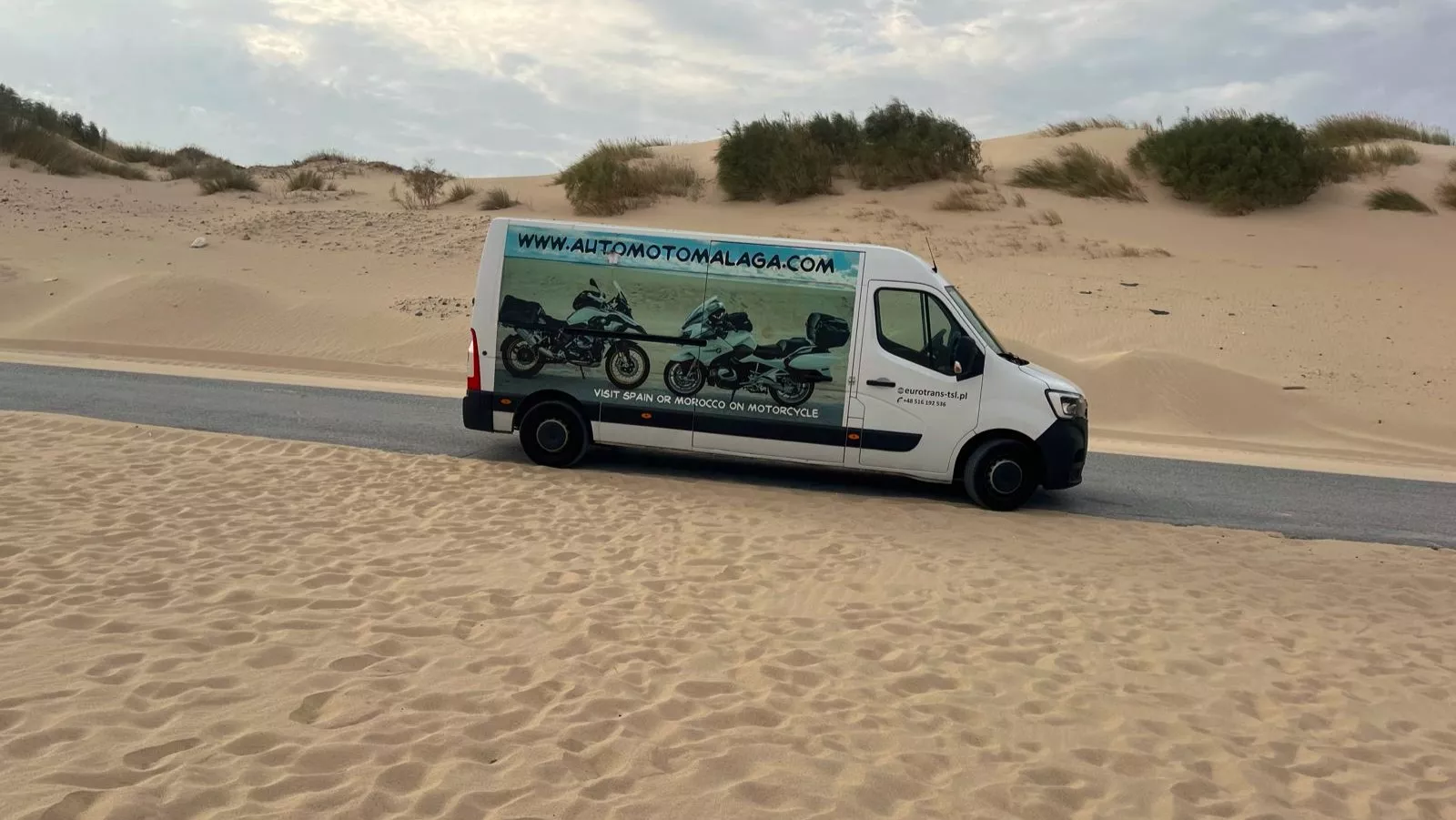
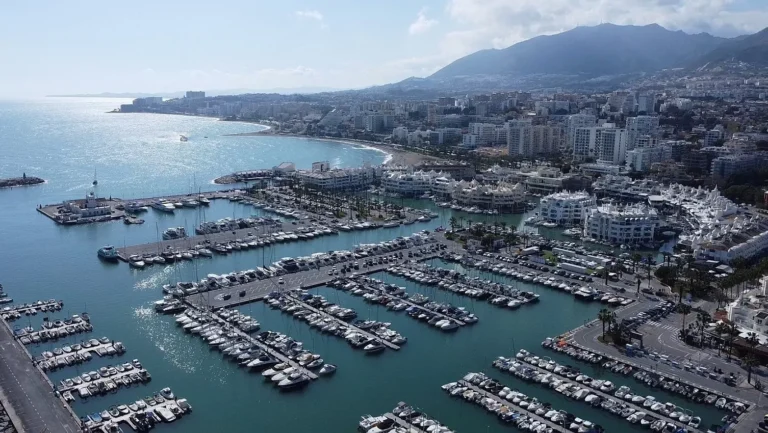
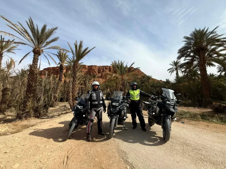
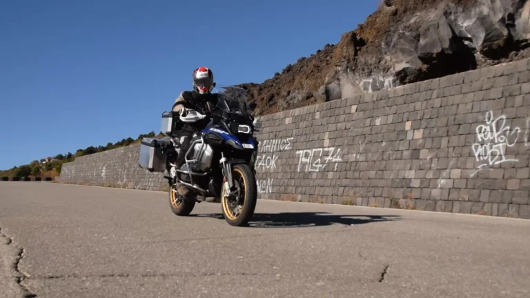
Andalusia is best known for its whitewashed villages, mountains, olive groves and coastline. Yet in the southernmost part of the region, you can find a landscape that looks completely different at first glance. Around Tarifa, there are wide beaches, vast stretches of sand, towering dunes and pine-covered hills. The most distinctive landmark is Duna de Bolonia, located next to Playa de Bolonia in the municipality of Tarifa.
Online, you may come across terms such as “desert in Spain” or “desert near Tarifa”. Geographically, however, this is not a desert. Duna de Bolonia is an active dune formation – a large accumulation of sand shaped and moved by the wind. It is officially protected as the Monumento Natural Duna de Bolonia and lies within the Parque Natural del Estrecho. The dune itself rises more than 30 metres, and its shape and location are largely the result of the strong winds that blow through the Strait of Gibraltar area.
For motorcyclists, it is an interesting destination not only because of the dune itself. The route from Malaga takes you along the Costa del Sol, through the areas around Marbella and Estepona, across Campo de Gibraltar, and finally onto the more exposed and wind-prone section of the N-340 towards Tarifa. Along the way, you can combine the ride with short stops by the sea, a visit to Tarifa, a tour of the Roman city of Baelo Claudia, and a ride through the landscapes of Parque Natural del Estrecho.
Where is the “desert” near Tarifa?
The main destination on this trip is the Monumento Natural Duna de Bolonia, located next to Playa de Bolonia, around 23 km by road from the centre of Tarifa. To reach Bolonia, you leave the N-340 and take the CA-8202 towards the coast. Official Junta de Andalucía information indicates the turn-off from the N-340 is around kilometre 71.
The distance from Malaga to Bolonia is approximately 178–180 km by road. Without longer stops, route planners estimate a journey time of around 2 hours 20 minutes, but for a motorcycle trip it is worth allowing considerably more time. The actual journey will depend on traffic, road conditions, wind and the number of stops you make along the way.
Bolonia is located on the Atlantic coast of Cádiz province, within the municipality of Tarifa. The immediate surroundings include both the dunes and the archaeological site of Baelo Claudia. The entire landscape forms part of a larger natural system where sand, wind, pine woodland, coastal vegetation and the open sea create a distinctive setting in southern Andalusia.
Duna de Bolonia – what exactly is this landscape?
Duna de Bolonia is not simply an isolated “mountain of sand” separated from the rest of the coastline. It is part of a dune system that has developed in the Ensenada de Bolonia bay. Official nature information describes it as an active dune whose formation and movement are driven by the levante wind. The dune rises more than 30 metres and extends inland for more than 200 metres.
The landscape shows a clear transition between sand and vegetation. Around the dune, you can find dune grasses, plants adapted to sandy coastal environments, stone pine, coastal juniper and other species that can withstand these demanding conditions. Strong winds carry the sand, while vegetation and the shape of the terrain help to hold some of it in place. This constant interaction between wind, sand and vegetation is what makes the dune a dynamic landscape rather than a static “mountain of sand”.
When you visit, it is worth looking beyond the dune itself. The view takes in much of Bolonia Bay, the wide sandy beach, the mountains surrounding the bay and the open waters of the Atlantic. On a clear day, the contrast between the pale sand, green vegetation and blue sea is one of the most distinctive features of this part of the coast.
Why does the landscape look like a desert?
The answer is simple: sand, a lack of dense development and a vast open space create an impression typical of desert landscapes. In reality, this is a coastal environment. The dune lies directly next to the beach, and its formation and movement are driven by wind and the transport of sand rather than by the dry climate associated with true deserts.
So, if you search online for a “desert near Tarifa”, the main place to look is Duna de Bolonia, along with the dune landscapes of Valdevaqueros and Punta Paloma. It is worth keeping the distinction in mind, though: a desert-like landscape does not mean that you are looking at a desert in the geographical sense.
What is a visit to Duna de Bolonia like?
One of the easiest options is to walk along Playa de Bolonia. The official Duna de Bolonia trail is about 1 km each way and is classified as easy. The first section follows a wooden boardwalk, after which the route continues along the beach, near the ruins of Baelo Claudia, and through sections of sandy and wooded terrain.
Important: Before setting off, check the latest information on Ventana del Visitante and do not assume that the entire trail described here will be accessible.
Even if part of the route is temporarily closed, the surrounding area remains an interesting destination. However, any closure notices should be treated as binding. In the protected area, do not bypass barriers, enter closed sections or create your own paths through the dunes.
Where to take photos?
- From Playa de Bolonia – a wide view of the entire dune and the bay.
- Near the wooden boardwalk – a good spot for showing the scale of the dune against the beach.
- Around Baelo Claudia – an opportunity to combine the natural landscape with Roman ruins.
- On the road towards Bolonia – where safe and permitted stopping places are available, you can capture a wider view of the bay and surrounding mountains.
Do not ride your motorcycle onto the sand, dunes or beach. Leave your motorcycle in a designated area and continue on foot. The rules of the Natural Park restrict motor vehicle traffic to appropriate roads and designated areas, while riding off permitted roads and through dune areas is prohibited.
Malaga to Bolonia by motorcycle: what is the route like?
The direct route from Malaga to Bolonia is approximately 180 km each way. This means that the round trip alone can exceed 350 km, so it is worth treating the day as a full motorcycle adventure rather than a short ride to a single attraction.
The typical faster route heads west from Malaga along the Costa del Sol, continuing towards Marbella, Estepona and Campo de Gibraltar. Depending on the route you choose, it uses the A-7/AP-7, followed in the final section by the N-340 towards Tarifa. The stretch between the Algeciras area and Tarifa is more exposed, with more open scenery and stronger winds. Route planners indicate around 158 km from Malaga to Tarifa and approximately 178–180 km to Bolonia.
Approximate riding time without longer stops: around 2 hours 20 minutes to Bolonia. In practice, it is worth allowing considerably more time for a full-day trip, as the route offers plenty of opportunities for worthwhile stops.
Fast option – Malaga → Tarifa → Bolonia
If Duna de Bolonia is your main destination, you can limit the number of stops and cover most of the route using higher-standard roads. This option works well if you want to spend more of the day exploring Bolonia, Baelo Claudia and Tarifa.
Keep in mind, however, that part of the faster route follows divided highways, so it is not the most varied section of the day from a motorcycling perspective. It is practical, though, when the priority is to cover the distance from Malaga efficiently.
More scenic option – Costa del Sol and the N-340
An alternative is to use more sections of the N-340 instead of sticking exclusively to the faster route. Around Marbella, Estepona and further west, this allows you to get closer to the coast more often and take a more relaxed pace.
The trade-off is a greater number of junctions, local traffic, speed restrictions and towns along the way. This is the option for riders who see the ride itself as part of the motorcycle trip from Malaga, rather than simply as a transfer to Bolonia.
Option with towns and viewpoints
You can also divide the day into several shorter stages: Malaga → Marbella → Estepona → Sotogrande area → Algeciras → Tarifa → Bolonia. This route allows you to combine the seaside resorts of the Costa del Sol with the scenery of the Strait of Gibraltar and the very different character of the coastline around Tarifa.
With this option, it is better not to enter too many destinations into your navigation system. Three or four planned stops are usually enough, as you will still need to allow time for walking and sightseeing once you reach Bolonia.
What is there to see on the way from Malaga to Tarifa?
Marbella – a short stop in the Old Town
Character: a Costa del Sol resort with a historic centre and a contrast between the tourist-oriented coastline and older architecture.
Time: around 45–90 minutes.
Getting there by motorcycle: easy, although in the centre you should pay attention to restricted traffic zones and local parking arrangements.
Marbella works well as the first major stop after leaving Malaga. If you simply want to grab a coffee and stretch your legs, a short break is enough. If architecture interests you, allow more time for a walk around the Casco Antiguo.
Estepona – a walk along the coast
Character: a coastal town with a historic centre and seafront promenade.
Time: around 45–90 minutes.
Getting there by motorcycle: easy; before entering the town centre, it is worth checking the current parking regulations.
Estepona is a good place for a longer break before continuing west. You can treat it as an alternative to Marbella – rather than stopping at both, choose one if you are short on time.
Sotogrande and the Campo de Gibraltar area
Character: a transitional landscape between the Costa del Sol and the western part of Cádiz province.
Time: 20–45 minutes for a short stop.
Getting there by motorcycle: easy via the main roads.
This is primarily a place to take a breather before the final section of the journey. The landscape gradually changes from the densely developed tourist coastline to the more open surroundings of Campo de Gibraltar.
Tarifa – the first essential longer stop
Character: a historic town at the crossroads of cultures, with views across the Strait of Gibraltar.
Time: at least 1.5–2 hours if you want to see the Old Town and harbour area.
Getting there by motorcycle: straightforward from the N-340; in the centre, use designated legal parking areas.
Tarifa is a natural stop before continuing to Bolonia. The narrow streets of the Old Town, historic walls, castle and views towards Africa offer a completely different experience from the wide beach and dunes of Bolonia.
Tarifa – what to see during the same trip?
Castillo de Guzmán el Bueno
The castle is one of Tarifa’s most distinctive landmarks. Its origins date back to the period of the Umayyad Caliphate – the fortress was built on the orders of Abd ar-Rahman III in the 10th century and was expanded several times over the centuries. Today, it is protected as a Bien de Interés Cultural.
Time to allow: around 45–60 minutes if you want to visit the site rather than simply see it from the outside.
Puerta de Jerez
Puerta de Jerez is one of the symbols of historic Tarifa. The gate formed part of the medieval defensive system and leads directly towards the streets of the Old Town. It is a good starting point for a walking tour of the historic centre.
Time to allow: around 15–30 minutes, including a short walk through the surrounding streets.
The harbour and the Isla de las Palomas area
The best way to understand Tarifa’s location is from the sea. The town lies beside the Strait of Gibraltar, with Isla de Tarifa immediately offshore. From the coast, you can see the open water and, on a clear day, the African coastline.
Tarifa is also where the influences of the Atlantic Ocean and Mediterranean Sea meet. Playa Chica lies on the Mediterranean side, while the long beaches to the west of the town open onto the Atlantic.
Playa de Los Lances
Los Lances is one of Tarifa’s most distinctive beaches. Part of the area is protected as Paraje Natural Playa de Los Lances, which is particularly important for migratory birds crossing the Strait of Gibraltar.
Current note: since 14 September 2026, the official Los Lances trail has been temporarily closed due to fire damage. Check its current status before planning a walk.
Attractions within approximately 30 km of Duna de Bolonia
The following suggestions use Duna de Bolonia as the central point. The distances given are approximate and refer to road travel; on local roads, journey times may vary depending on traffic, weather and any current restrictions.
Playa de Bolonia and Ensenada de Bolonia – 0 km
Travel time: your destination.
This is where Duna de Bolonia is located. The beach forms part of a larger bay landscape where you can see the dune, coastal lagoons, vegetation and open sea. Baelo Claudia is also located immediately nearby.
Time to allow: 1–2 hours for the dune area itself; longer if you also plan to visit Baelo Claudia.
Baelo Claudia – approximately 1–2 km
Travel time: a few minutes.
Baelo Claudia was a Roman town established beside Bolonia Bay. It developed partly through fishing, the production of salted fish products and trade with North Africa. The archaeological site preserves, among other features, remains of the forum, basilica, theatre, temples and facilities associated with the production of garum.
Time to allow: around 1.5–2 hours if you want to explore the site and exhibition at a relaxed pace.
Motorcycles can reach the area of the archaeological site via public roads. Leave your motorcycle in a designated parking area; the archaeological site itself is explored on foot.
Playa de Valdevaqueros – approximately 13 km
Riding time: around 15–20 minutes.
Valdevaqueros is another distinctive section of Tarifa’s Atlantic coastline. The landscape also features dune formations, while the wide beach is closely associated with wind and water sports. Official Junta de Andalucía information identifies both Valdevaqueros and Bolonia as areas where wind and sand create characteristic dune systems.
Time to allow: 30–60 minutes for a viewpoint and short walk, or longer if you want to spend time on the beach.
Punta Paloma – approximately 10–15 km
Riding time: around 15–25 minutes, depending on your exact destination.
Punta Paloma lies in the Valdevaqueros area and is one of the places where the relationship between sand, wind and the open coastline is particularly clear. The area includes dune formations as well as sections of the Parque Natural del Estrecho.
Time to allow: 30–60 minutes. Keep in mind that not all local roads within protected areas are open to vehicle traffic. Leave your motorcycle only in a legal parking area.
Faro de Camarinal and the Punta Camarinal area – a few kilometres
Riding time: a short ride from Bolonia, but access to individual roads should be checked before setting off.
Camarinal Lighthouse stands in a dramatic cliffside landscape near Bolonia. The area combines views of the ocean, cliffs, beaches and the mountains surrounding the bay. Official access information indicates that some roads leading towards the lighthouse are subject to restrictions, with certain sections accessible only to authorised vehicles.
Important: do not assume that every road shown on a map is a legal motorcycle route. The Natural Park has restrictions on vehicle access outside permitted roads.
Tarifa – approximately 23 km
Riding time: around 25–30 minutes.
Tarifa is a natural extension of a visit to Bolonia. You can combine the Old Town, castle, Puerta de Jerez, harbour and views of the Strait of Gibraltar with the beaches and dune landscapes surrounding the town.
Time to allow: at least 1.5–2 hours.
Facinas – approximately 15–20 km
Riding time: around 20 minutes.
Facinas is a small inland village located near the transition between Tarifa’s coastal landscape and areas associated with Parque Natural Los Alcornocales. It can be an interesting alternative to another coastal stop, especially if you want to experience a more local, less beach-oriented side of the area.
Time to allow: 20–40 minutes.
Playa de Los Lances – approximately 25 km
This is an interesting stop on the way back from Tarifa towards Bolonia or as part of a detour around the town. The beach and surrounding areas are environmentally important, particularly for migratory birds.
Current restrictions: the official Los Lances trail is currently temporarily closed. The fact that the location lies along your route does not mean that all paths and viewing areas are accessible.
Baelo Claudia – a Roman city between the dunes and the sea
Baelo Claudia is one of the reasons why Bolonia is worth treating as more than just a beach stop. The archaeological site lies practically next to the dune, allowing you to experience two completely different landscapes during the same visit: a natural sand formation and the remains of a Roman city.
The city developed in a strategic location on the Strait of Gibraltar, and its economy was closely linked to fishing, fish processing and trade with North Africa. Today, you can see the remains of the urban layout, forum, basilica, temples, theatre and facilities used for the production of salted fish products and garum.
Baelo Claudia opening hours
According to the latest information from Junta de Andalucía, from 21 September to 20 March, the site is open from Tuesday to Saturday from 09:00 to 18:00, while on Sundays, public holidays and Mondays preceding a public holiday, it is open from 09:00 to 15:00. Mondays are generally closed. For 2026, specific public holidays and exceptions to this rule have also been published.
Check the current calendar before setting off. Opening hours may change seasonally, and additional events may require advance booking. According to the institution, standard individual access to the complex is available during opening hours.
Key landscapes and natural features in the area
- Duna de Bolonia – an active dune rising more than 30 metres.
- Playa de Bolonia – a wide Atlantic beach surrounded by hills and dunes.
- Valdevaqueros – another large beach and dune system strongly shaped by the wind.
- Punta Paloma – sandy coastline and open Atlantic scenery.
- Punta Camarinal – a more rugged section of coastline with cliffs and views across the bays.
- Strait of Gibraltar – a defining feature of the landscape visible from many locations around Tarifa.
- Tarifa – a combination of historic streets, sea, beaches and defensive landmarks.
Keep in mind that a significant part of this landscape is protected. Parque Natural del Estrecho covers both land and marine areas, with natural features including dune systems, beaches, cliffs and habitats that are important for migratory birds.
Wind in Tarifa – something motorcyclists should not underestimate
Tarifa is one of the places in Andalusia where wind plays a particularly important role in travel planning. It is no coincidence that the local beaches are famous for windsurfing and kitesurfing, while official information about Duna de Bolonia directly identifies the levante wind as one of the forces responsible for shaping the dune.
For a motorcyclist, the issue is not just riding comfort. A strong crosswind gust can push a motorcycle off its line, particularly on exposed sections of road, when emerging from behind terrain that has been providing shelter, on bridges and near the coast. Conditions can change quickly – a section sheltered by a hill may feel calm, while just a few hundred metres further on, the rider may encounter a much stronger airflow.
AEMET data for Tarifa show that winds in the Strait area can reach significant speeds. Observations from September 2026 recorded, among other conditions, easterly winds of around 30–40 km/h, with gusts exceeding 50–60 km/h. This is a good example of why, before setting off, you should check not only the temperature but also wind speed and direction, as well as any warnings issued for the Strait of Gibraltar.
Practical rule: if the forecast shows strong winds, allow extra time, reduce your speed and leave yourself the option of changing your route. Around Tarifa, it is not a good idea to plan your day down to the minute.
Motorcycling in Parque Natural del Estrecho – what do you need to know?
The most important rule is simple: your motorcycle is there to get you to the attractions, not to ride through the attractions themselves. The Natural Park has restrictions on motor vehicle traffic. Vehicles are not permitted outside authorised roads, and regulations also restrict access along certain paths, unpaved roads and protected areas.
This is particularly important around the dunes. Do not ride your motorcycle onto Duna de Bolonia, Punta Paloma, Valdevaqueros or the beach. Even if you see vehicles riding on sand in photographs or on social media, such material should not be treated as evidence that it is legal.
Parking should also take place only in designated areas. Official information on the use of the Natural Park emphasises the need to use designated car parks and authorised roads.
Three realistic options for a one-day trip
Option 1: Malaga → Duna de Bolonia → Malaga
Best for: riders whose main goal is to see the dunes, beach and landscape around Bolonia.
Plan: ride from Malaga to Bolonia, walk around the dune area, relax on the beach and then return. If current access rules allow it, you can also include a short walk along the Duna de Bolonia trail.
Time: a full day, particularly if you want to avoid rushing on the way back.
There is no need to add numerous stops along the way with this option. The priority is to leave enough time for breaks and changing weather conditions.
Option 2: Malaga → Tarifa → Bolonia → Malaga
Best for: travellers who want to combine the dunes with the history and atmosphere of Tarifa.
Plan: ride to Tarifa, walk through the Old Town, visit the castle or Puerta de Jerez, then take the N-340 towards Bolonia, with stops at Baelo Claudia and Duna de Bolonia. Return to Malaga later the same day.
Time: a full day with a fairly long time in the saddle.
This option highlights the diversity of the region: the town, castle, Strait of Gibraltar, Atlantic coast, beach, dune and Roman ruins.
Option 3: Malaga → Costa del Sol → Tarifa → Bolonia → Valdevaqueros area → Malaga
Best for: motorcyclists who want to make the route itself the main part of the trip.
Plan: leave Malaga, make one longer stop on the Costa del Sol, continue towards Campo de Gibraltar, then Tarifa and Bolonia before returning via the Valdevaqueros area.
Time: a long day on the motorcycle, with weather and wind playing an important role.
This option allows you to experience a greater variety of landscapes, but requires a more flexible approach to timing. If strong winds develop on the N-340 or around Tarifa, it is better to reduce the number of stops than to try to stick to the itinerary at all costs.
Practical information for motorcyclists
- Check the wind before setting off – around Tarifa, it is just as important as temperature and rainfall.
- Take water with you – especially if you plan to walk along the beach and through the dune area.
- Use sunscreen and sunglasses – sunlight reflected from the sand and sea can be intense.
- Dress in layers – it can feel warm in calm conditions, while strong winds can significantly reduce thermal comfort.
- Take navigation with you – particularly for local roads around Bolonia and the Natural Park.
- Carry your documents – your driving licence, ID and any documents required by the rental company.
- Check the motorcycle before setting off – fuel level, tyre pressure, lights and basic equipment.
- Park only in permitted areas – do not leave your motorcycle on a dune, beach or random roadside area within the protected landscape.
- Motorland.rent – a motorcycle rental company in Malaga that provides service support in case of unexpected situations on the road.
What should you watch out for on local roads?
The CA-8202 towards Bolonia is a completely different riding experience from the faster A-7. The final section calls for a more relaxed pace, particularly during periods of heavier tourist traffic. Local roads may be shared with cars, motorhomes, cyclists and pedestrians.
There is little reason to treat attractive bends as an opportunity for fast riding. Around Tarifa, being able to react to crosswinds, unexpected traffic and changes in the road surface is more important than maintaining a high pace.
Check the latest road information and Natural Park notices before setting off. Access to trails and individual attractions can change, as can traffic arrangements during periods of high visitor numbers.
Is it worth combining the Bolonia dunes with a motorcycle trip from Malaga?
The Malaga–Bolonia route is approximately 180 km each way, so this is not a short ride. In return, you get a remarkable variety of landscapes: the urbanised Costa del Sol, Andalusia’s coastal roads, the Campo de Gibraltar area, Tarifa, the Atlantic coast, wide beaches, dunes, mountains and Roman ruins.
Duna de Bolonia is also a good example of a place that may be described as “desert-like” in tourism content, even though the correct geographical term is dune. It is the combination of sand, strong winds, beach and vegetation that makes the landscape look so different from much of the Costa del Sol coastline.
For motorcyclists, another advantage is the possibility of building the entire day around the ride. You can make Bolonia your main destination, combine it with Tarifa and Baelo Claudia, or add several stops along the Costa del Sol. Either way, it is worth leaving some flexibility in your schedule for wind, tourist traffic and any current access restrictions.
If you are planning this route, check the latest road conditions, the AEMET forecast for Tarifa and the Strait of Gibraltar, and Ventana del Visitante notices concerning trails in Parque Natural del Estrecho before setting off. This is particularly important for Duna de Bolonia, as trail access may be temporarily changed.